Near-Real-Time Fire Monitoring and Early Warning for Disaster Management
Overview
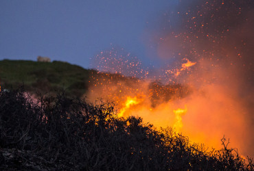
The Advanced Virtual Fire Information System (AVFS) is a cutting-edge, near-real-time satellite-based wildfire detection and alert system offered through EORIC. AVFS supports fire management, disaster preparedness, and environmental monitoring efforts by delivering timely, accurate, and actionable fire intelligence to key stakeholders across Ghana, West Africa, and the global fire-monitoring community. AVFS is designed for fire managers, conservationists, emergency responders, farmers, and policymakers, empowering them with the tools to anticipate, detect, and respond to fire events quickly and effectively.
How It Works
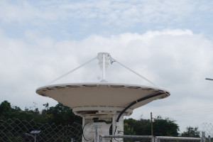
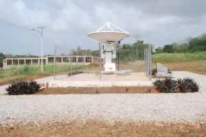
AVFS integrates satellite observations from multiple platforms to provide:
– GPS location of fire events
– Distance and direction from user-defined reference points
– Delivery of alerts through:
– Mobile SMS
– Email notifications
– Social media networks
– Fire alerts are issued within 15 minutes of satellite scans, based on data from two key sensors:
– Earth Observing System (EOS)
– GEONETCast satellite system
This rapid processing and dissemination make AVFS a reliable tool for early fire detection and timely response coordination.
Key Features
– Near real-time fire alerts available to registered users
– Accessible via smart device application
– Covers West Africa fire hotspots
Who Uses AVFS?
– National and regional fire suppression agencies
– Environmental and conservation institutions
– Disaster risk management authorities (e.g., NADMO, GNFS)
– Local governments and municipal planners
– Farmer associations and agro-based businesses
– International organisations working on climate and wildfire resilience
Ready to Enhance Your Fire Response Capacity?
Whether you’re a government agency, NGO, or local farmer group, AVFS is your real-time fire awareness and preparedness tool.
Contact us at eoric@uenr.edu.gh
Visit us: UENR Campus, Sunyani, Bono Region, Ghana.